Skyeton is a Ukrainian-born unmanned aerial systems manufacturer with a 19-year legacy. Since the start of the russian full-scale invasion, we’ve been building a universal UAV platform — to survive and to win
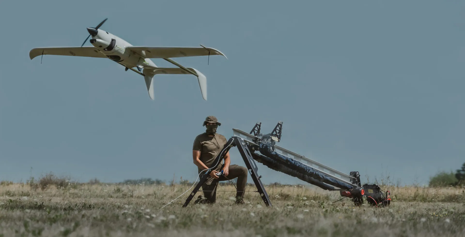
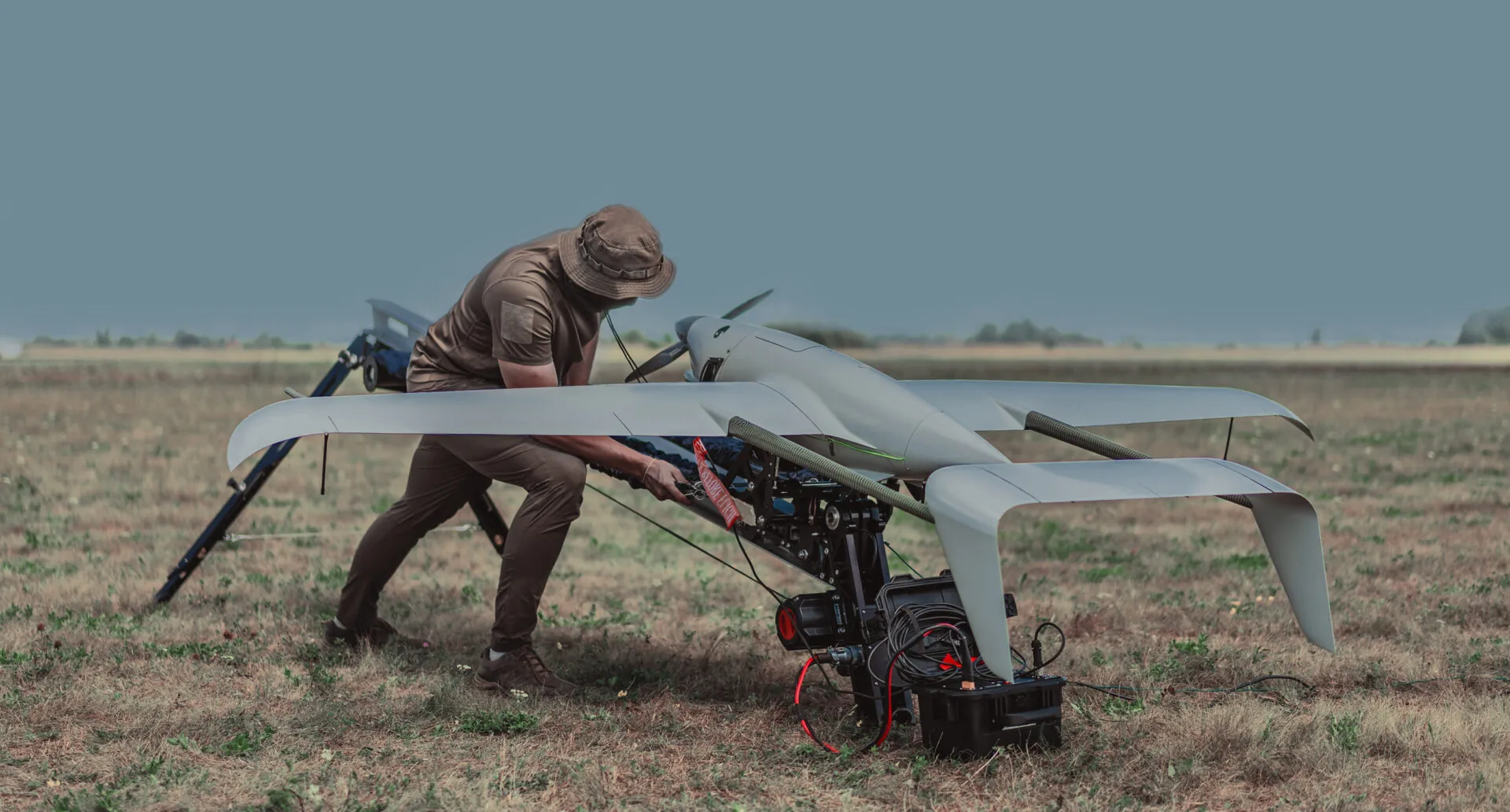
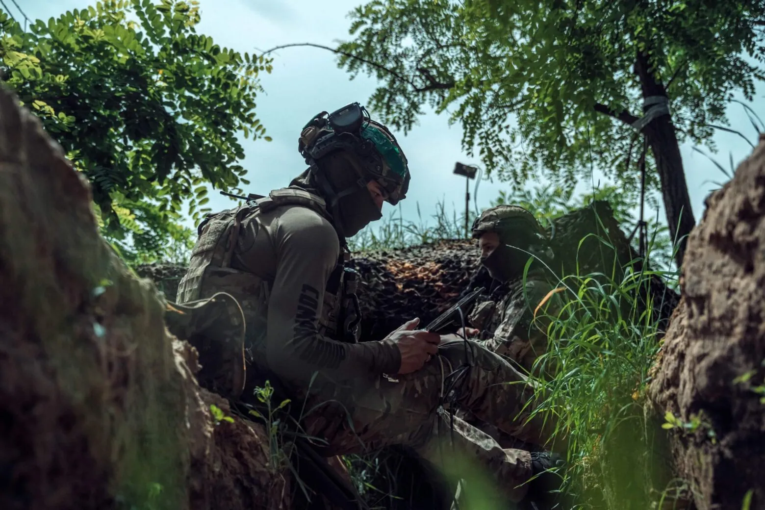
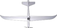
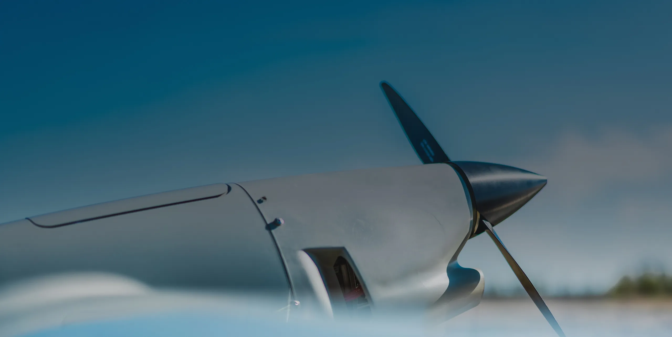
We weren’t given time for theory. Under fire, we developed Raybird — the best-in-class UAV system with 350,000+ hours of combat missions. We've grown into a team of 500+ people and built one of the most advanced R&D departments in our field, with 100+ engineers onboard
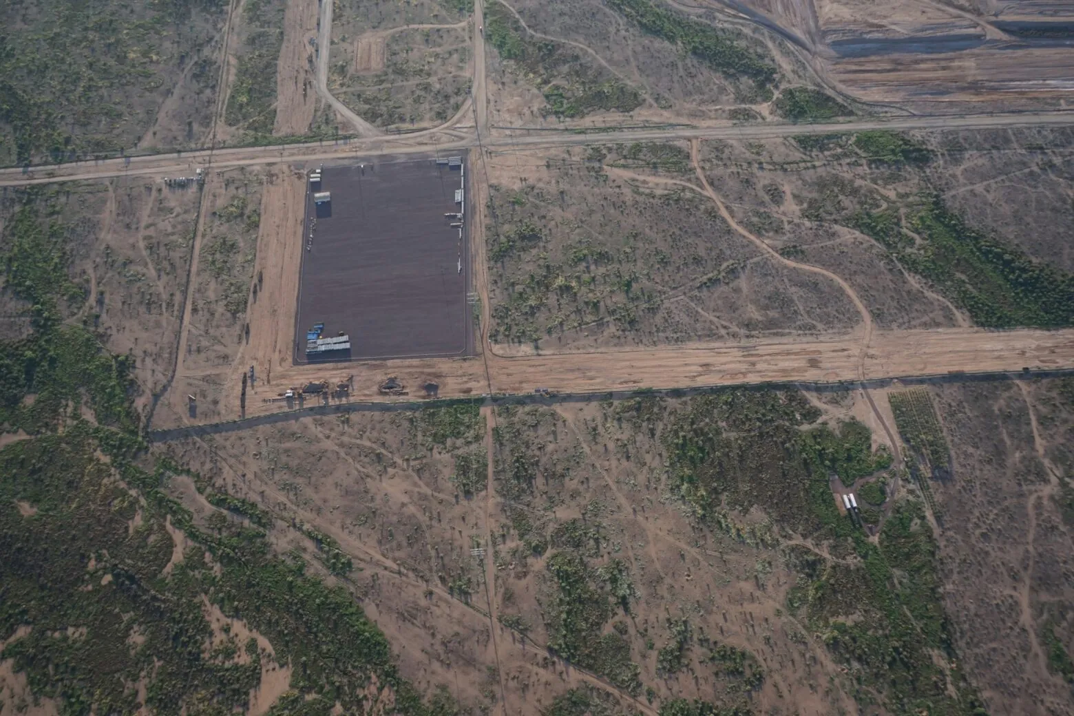
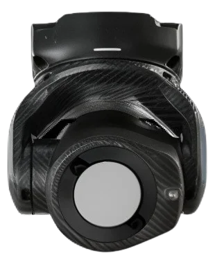
Raybird is a technological breakthrough — once deemed impossible, now a decisive advantage both on the battlefield and deep behind enemy lines
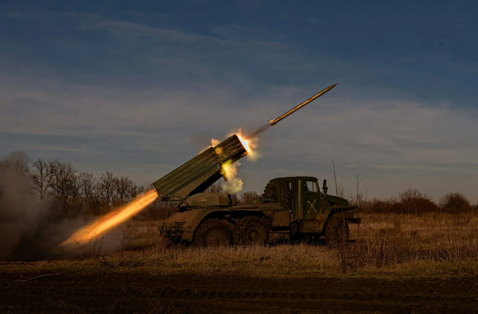
Provides accurate coordinates for artillery systems (Caesar, Krab), adjusts fire missions, and confirms target elimination. Interacts with HIMARS and other long-range systems
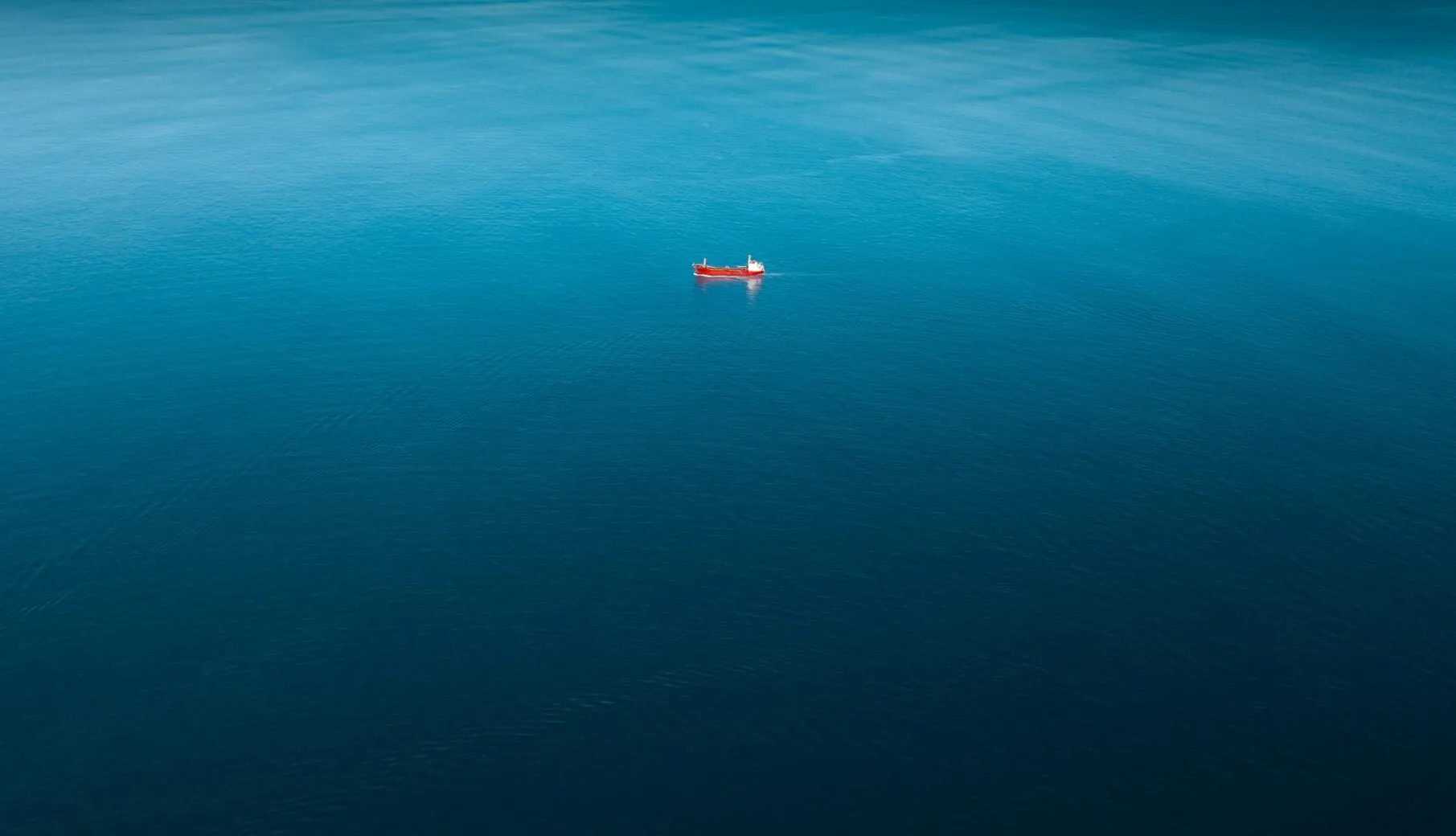
Round-the-clock aerial support for maritime operations.
Detection of illegal activities such as drug trafficking and unauthorized fishing.
Identification and monitoring of pollution
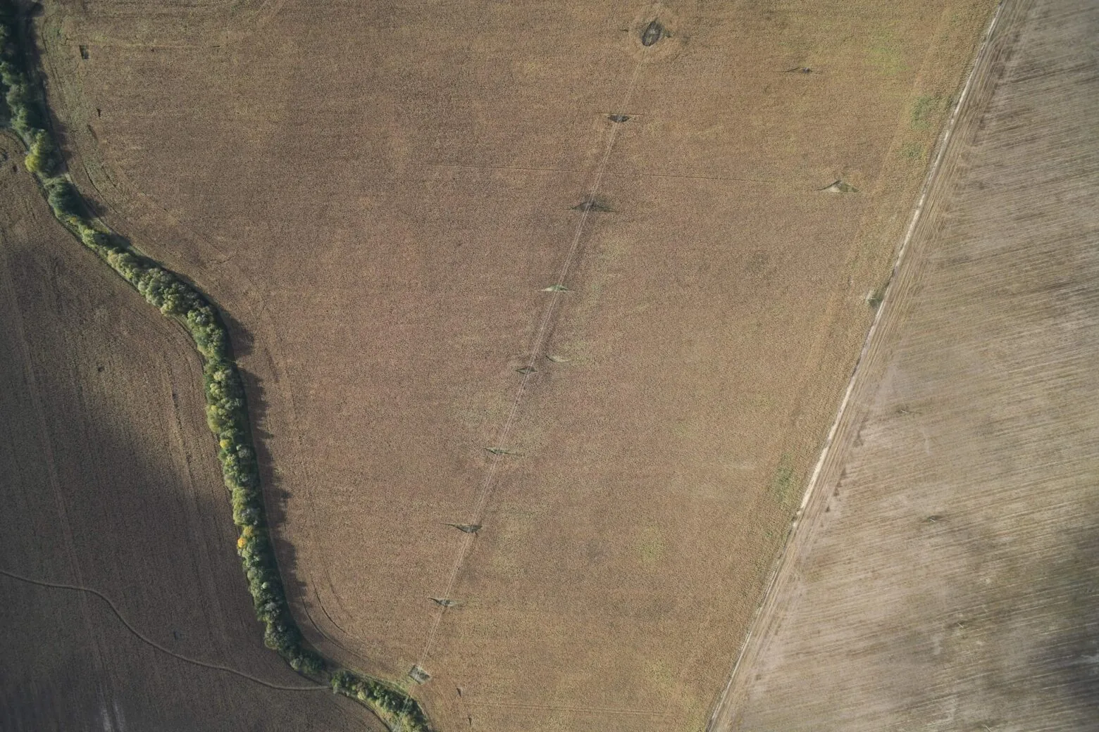
Performing large-scale aerial video of power line routes (M 1:1000 - 1:10000).
Detection of insulator damage on poles.
Measurement of wire and cable attachment heights on transmission towers.
Identification and monitoring of landslide and karst-prone areas, including analysis of their development dynamics
High-resolution video of pipelines, auxiliary equipment, and surrounding infrastructure.
Infrared imaging to detect pipeline damage and potential oil or gas leak areas.
2D orthomosaics and 3D models of pipelines and the surrounding environment.
HD video recording for real-time visual monitoring and condition assessment of the pipeline
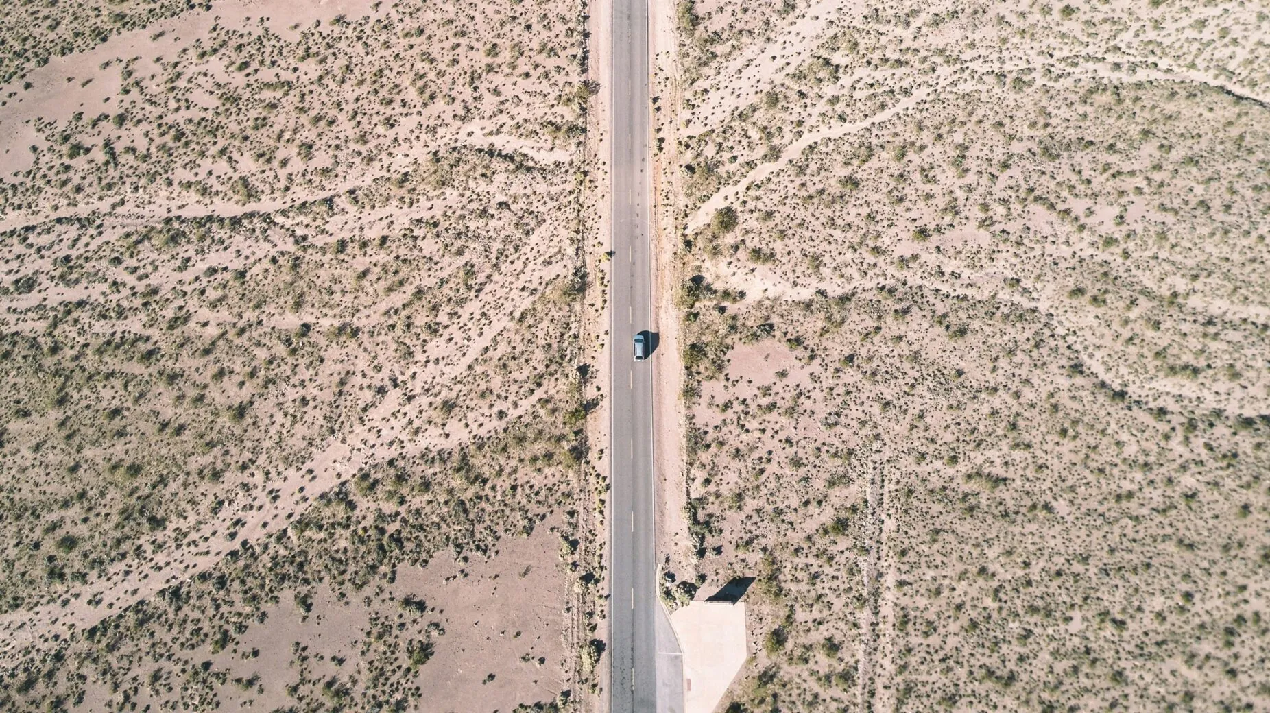
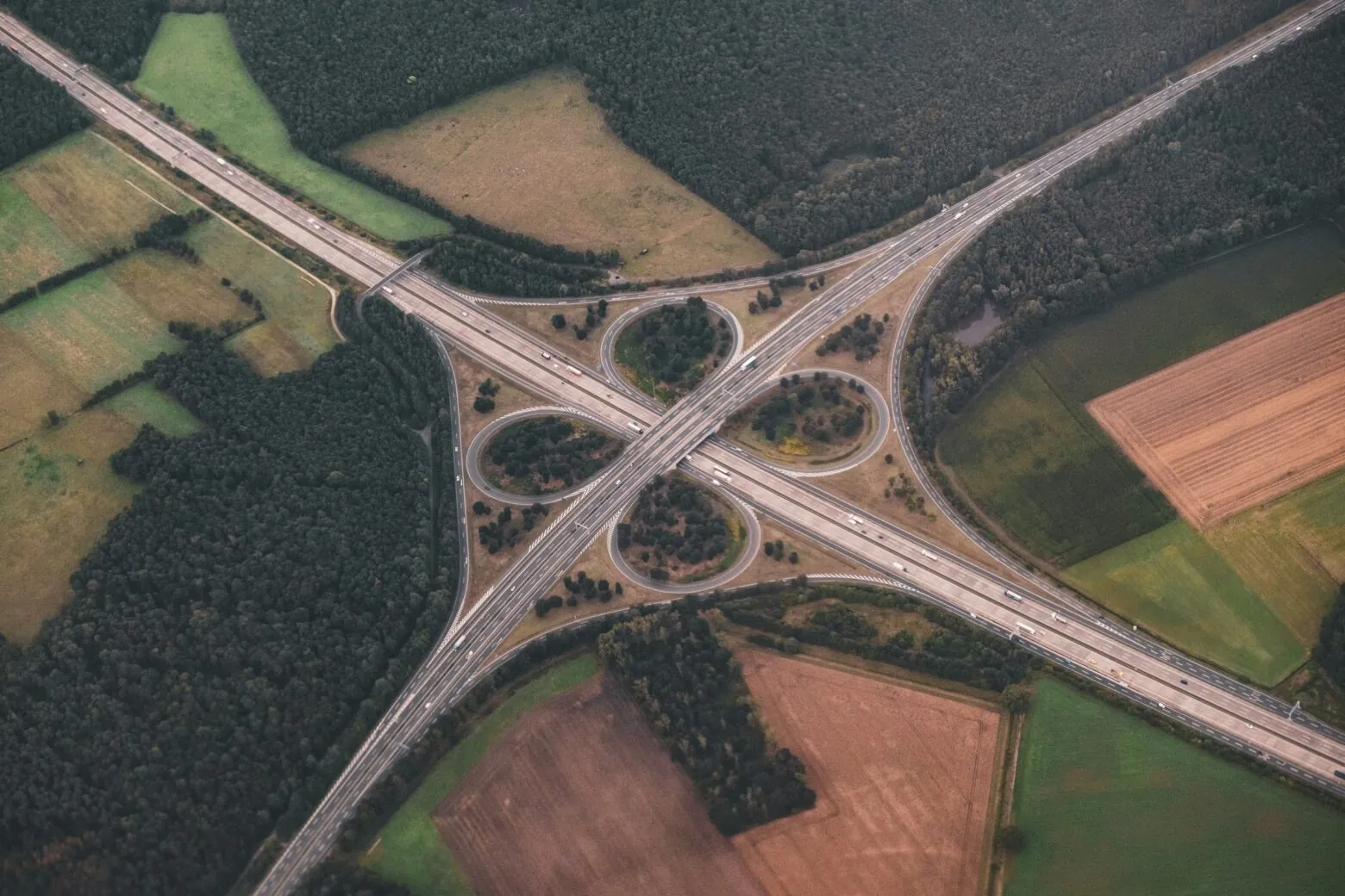
Rapid road surface diagnostics and traffic flow monitoring.
Accurate detection of road surface damage type and severity.
Monitoring of bridges and other civil engineering structures.
Early detection of hazardous geotechnical phenomena such as suffosion, karst activity, and flooding.
Real-time data collection during emergency situations
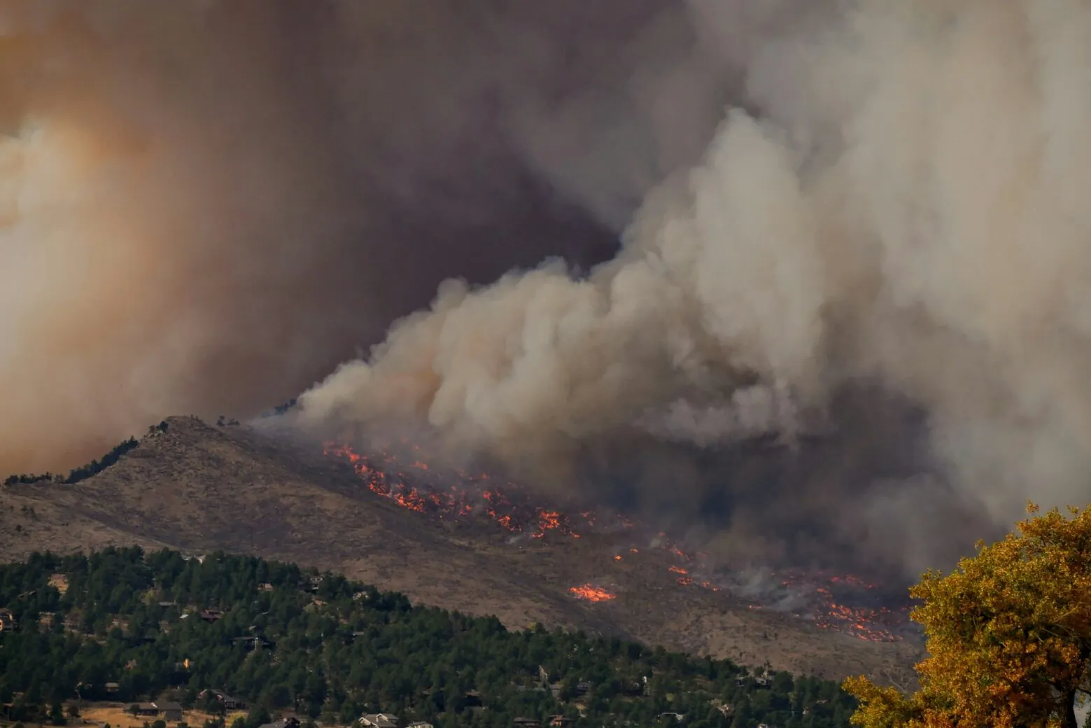
Aerial reconnaissance for wildfire prevention and illegal logging detection. Coordination of firefighting and deforestation response operations. Marking hazardous zones to support firefighters in planning and coordination. Surveying disaster-affected areas
 Warm wishes on the upcoming New Year!
For our team, 2025 was a...
Warm wishes on the upcoming New Year!
For our team, 2025 was a...

![[Photo] Roman Knyazhenko, CEO](https://skyeton.com/wp-content/uploads/2025/12/photo-roman-knyazhenko-ceo-1217x811.jpg.webp)